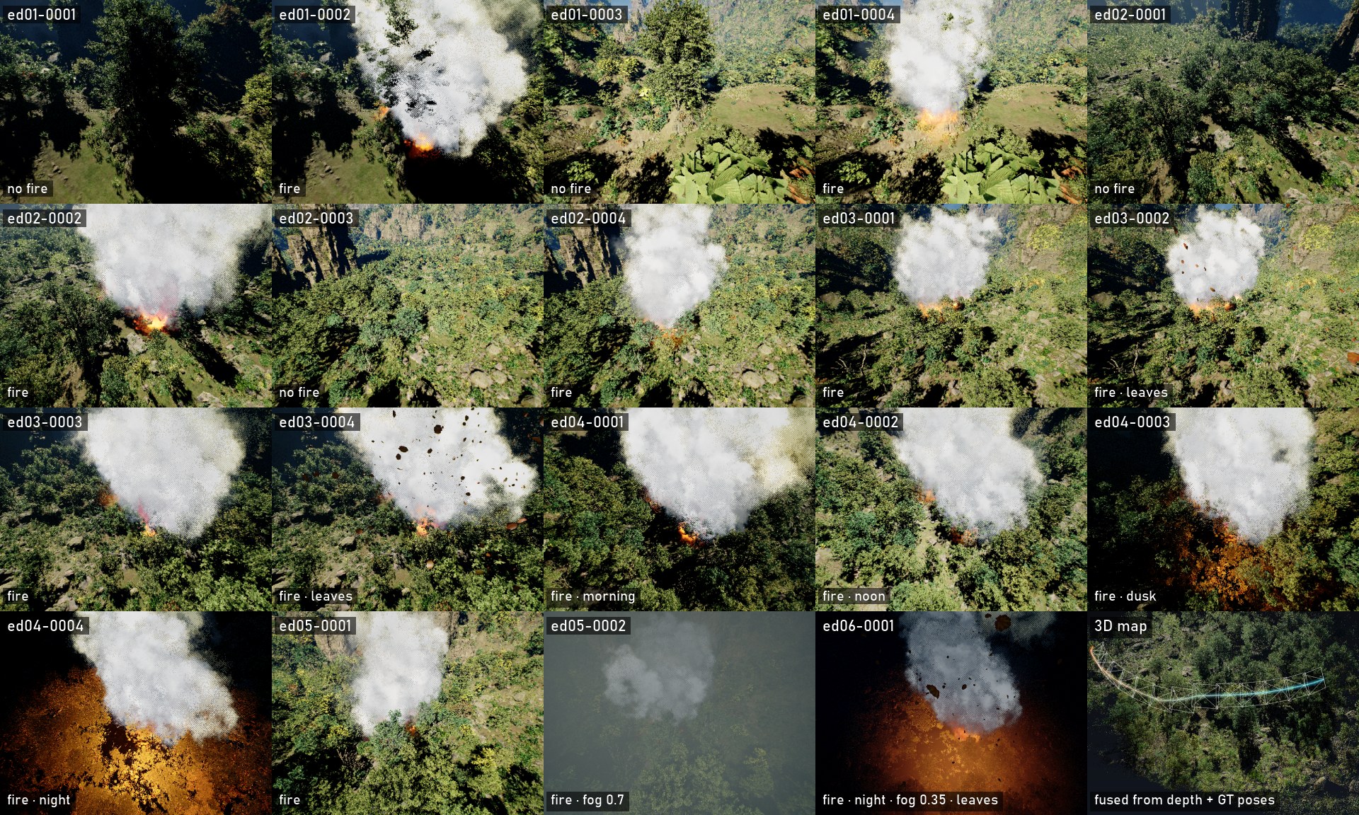
WildfireX-SLAM v2.0: first-person capture, the flight path seen from outside, all 19 sequences, and a 3D map fused from depth and ground-truth poses.
News
- NEW2026-10 — WildfireX-SLAM v2.0: 19 sequences over 6 fire sites, canopy-following flights, 7 pixel-aligned modalities, and the open
wildfirexdata-collection toolkit (simulator release coming soon). - 2026-01 — v1.0 dataset, including the Benchmark B data, available on request (form).
- 2025-11 — v1.0 data-collection code released on GitHub.
- 2025-10 — Paper accepted to MMM 2026 as an oral presentation.
- 2025-10 — Paper on arXiv.
Controllable Conditions
Every factor is switched at runtime while the drone flies exactly the same path. Drag the sliders.
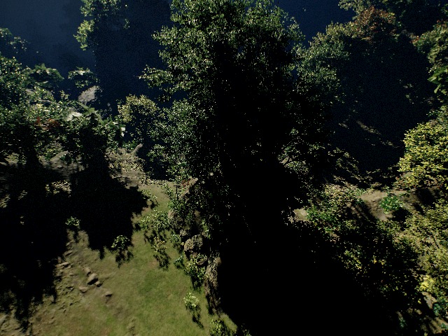
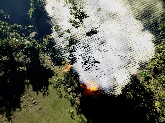 no firefire
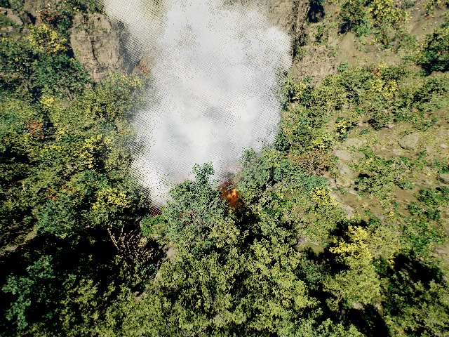
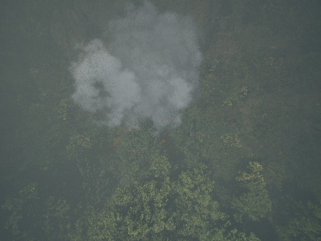 clearfog
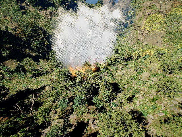
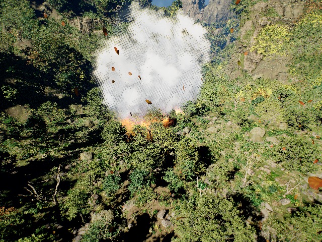 calmleaves

Morning, noon, dusk and night at the same site. At dusk a low sun from the opposite side to morning lights the canopy and the fire glows faintly; at night only the fire and a weak moon light the scene.
Modalities and Ground Truth
RGB, metric depth, surface normal and albedo (also roughness, specular and object-ID), captured in the same frame. Depth includes smoke and wind-moved foliage, exactly as seen in RGB. Camera poses are exact (TUM and Replica formats). Depth PNGs are in centimetres (scale 100, not TUM's 5000); poses are camera-to-world with an OpenCV camera in an NED world (z down) — see the dataset card.
All Sequences
Benchmarks (v2.0)
| Benchmark | Sites | Sequences | Factor | Flight |
|---|---|---|---|---|
| A | ed01, ed02 | 8 | no fire vs. fire | spiral around the fire; lawn-mower survey beside it |
| CS1 | ed03 | 4 | falling leaves | search flight towards the fire; spiral |
| CS2 | ed04 | 4 | morning / noon / dusk / night | spiral |
| CS3 | ed05 | 2 | fog (0 vs 0.7) | lawn-mower survey |
| CS4 | ed06 | 1 | fire + leaves + fog (0.35) + night | spiral |
All flights follow a surveyed canopy map 12–15 m above the trees (median 29–42 m above ground). Paired sequences share exactly the same trajectory.
Collect Your Own Data
- Get the packaged simulator WildfireX-Sim (Windows, no Unreal Editor needed; release coming soon).
pip install wildfirex- Describe sites, flights and conditions in a YAML config (the v2.0 config is in the repository).
- Run
wildfirex collect: frames, poses and quality checks are written automatically; every v2.0 sequence can be regenerated.
# toolkit + dataset configs
pip install wildfirex
git clone https://github.com/zhicongsun/WildfireX-SLAM
set WILDFIREX_SIM=C:\WildfireX-Sim-1.1-Win64\ElectricDreamsSample.exe

# once per map: canopy surface for low-altitude flights
wildfirex survey  configs/wildfirex_slam_v2.yaml
wildfirex survey  configs/wildfirex_slam_v2.yaml --refine

# collect all 19 sequences (or --only ed05-0002)
wildfirex collect configs/wildfirex_slam_v2.yaml
Versions
| v1.0 · 2025 | Paper dataset, published at MMM 2026 (oral): 5.5k RGB-D images over a 16 km² forest map. |
| v2.0 · 2026-10 | Collected with the wildfirex toolkit and WildfireX-Sim 1.1: 6 fire sites, canopy-following flights, 7 modalities, exact poses at 30 Hz, controllable fire, smoke, fog, leaves and lighting. |
| Next | Dynamic fire scenes with per-frame fire-front ground truth. |
v1.0 paper: WildfireX-SLAM: A Large-scale Low-altitude RGB-D Dataset for Wildfire SLAM and Beyond (MMM 2026, oral) — abstract and video
Abstract
3D Gaussian splatting (3DGS) and its subsequent variants have led to remarkable progress in simultaneous localization and mapping (SLAM). While most recent 3DGS-based SLAM works focus on small-scale indoor scenes, developing 3DGS-based SLAM methods for large-scale forest scenes holds great potential for many real-world applications, especially for wildfire emergency response and forest management. However, this line of research is impeded by the absence of a comprehensive and high-quality dataset, and collecting such a dataset over real-world scenes is costly and technically infeasible. To this end, we have built a large-scale, comprehensive, and high-quality synthetic dataset for SLAM in wildfire and forest environments. Leveraging the Unreal Engine 5 Electric Dreams Environment Sample Project, we developed a pipeline to easily collect aerial and ground views, including ground-truth camera poses and a range of additional data modalities from unmanned aerial vehicle. Our pipeline also provides flexible controls on environmental factors such as light, weather, and types and conditions of wildfire, supporting the need for various tasks covering forest mapping, wildfire emergency response, and beyond. The resulting pilot dataset, WildfireX-SLAM, contains 5.5k low-altitude RGB-D aerial images from a large-scale forest map with a total size of 16 km². On top of WildfireX-SLAM, a thorough benchmark is also conducted, which not only reveals the unique challenges of 3DGS-based SLAM in the forest but also highlights potential improvements for future works.
Paper video
BibTeX
@inproceedings{sun2026wildfirex,
  title={WildfireX-SLAM: A Large-Scale Low-Altitude RGB-D Dataset for Wildfire SLAM and Beyond},
  author={Sun, Zhicong and Lo, Jacqueline and Hu, Jinxing},
  booktitle={International Conference on Multimedia Modeling},
  pages={533--546},
  year={2026},
  organization={Springer}
}